Blog
Ṽīḗẇīƞɠ ƥǿşŧş ƀẏ pvetch
From texts to maps (and back again)
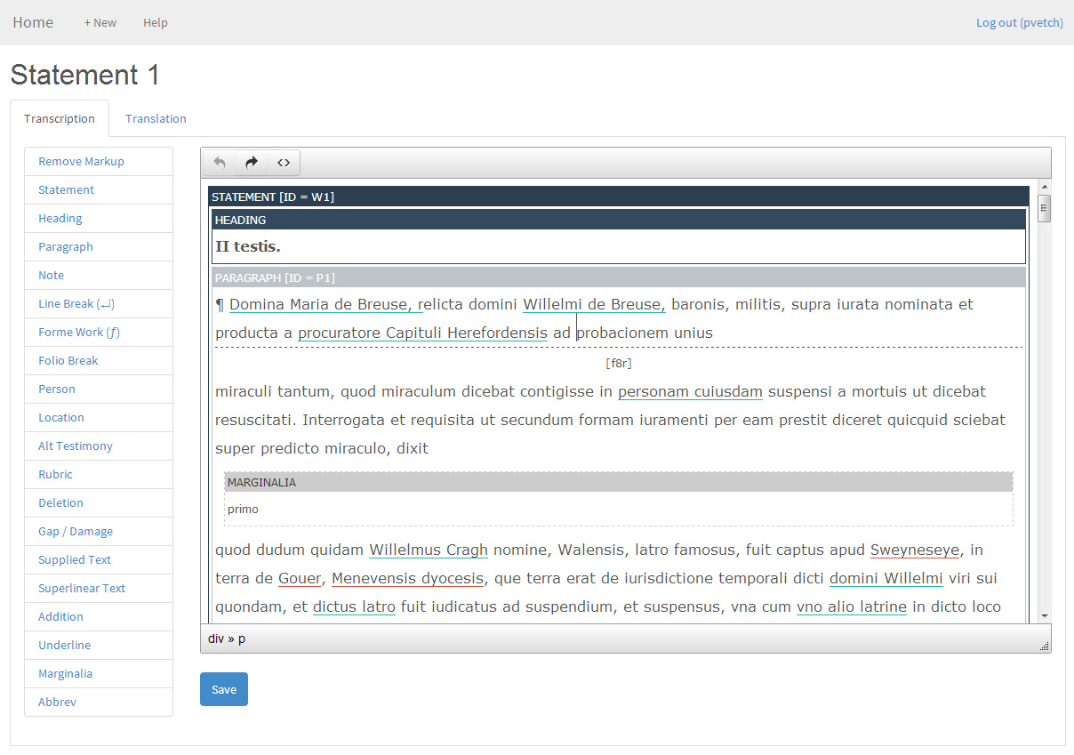
One of the principal digital humanities challenges of our project lies in reconciling all the different types of mapping activity that we need to undertake. As well as the literal mapping of physical space and the urban landscape to help us develop a historically accurate sense of Swansea at a particular moment in time, we must also figuratively map textual references in the witness statements to concepts (such as places, people, events), and we must also do so in way which preserves the chronology of what the individual witnesses recorded. We also need to try and achieve this within a single technical architecture that will allow us to bring together the textual edition and the GIS data that the other members of the team have been working hard at compiling.


