Blog
Viewing posts by klilley
Layering space and time
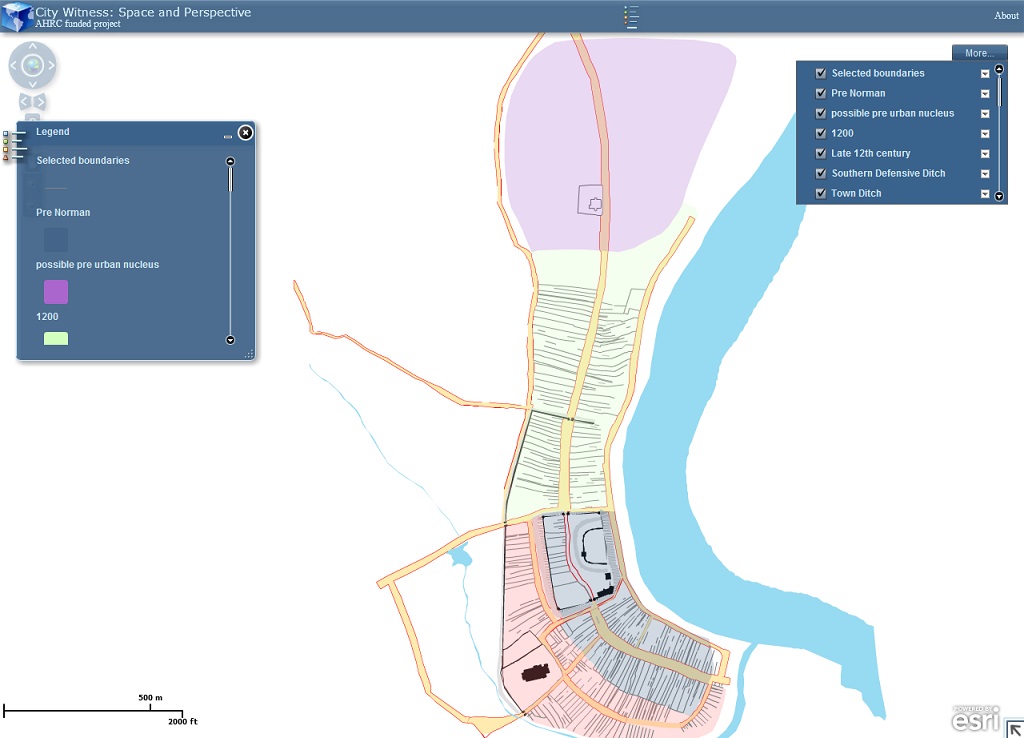
One of the great advantages of using a Geographical Information System (GIS) in mapping urban landscapes is that it allows us to layer space and time, to see how towns and cities have changed over time.


