Blog
Moving maps

One of the final outcomes of the 'City Witness' project is an online resource that allows users to navigate in and through the medieval urban landscape through interactive mapping.
The basis of this online mapping is a Geographical Information System (GIS) which the project team have been developing over the past few months. The GIS is a way of bringing together 'spatial data', which in the case of 'City Witness' includes especially historic maps, archaeology, aerial photography, and field survey.
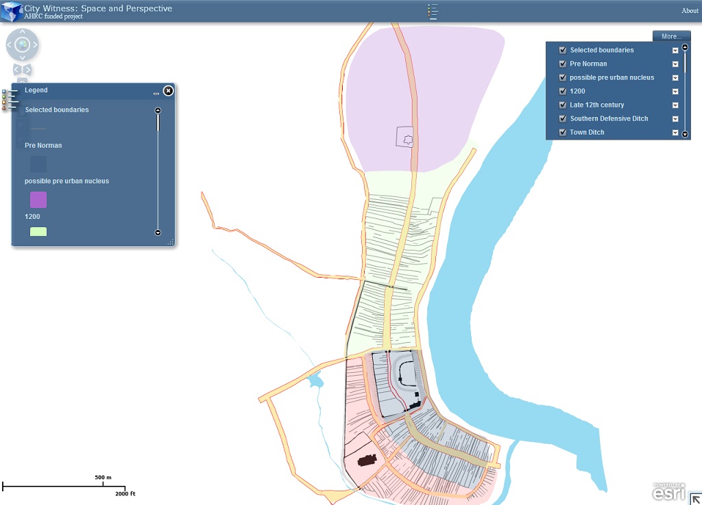
To begin to visualise Swansea as it might have looked at around 1300, we have begun to gradually refine our spatial data, and experiment with mapping the medieval urban landscape.
It's early days, but if you follow this link - http://143.117.30.60/flexviewers/City_Witness/ - you'll find a way of interacting with some of our spatial data that will be used in mapping of medieval Swansea, as well as an initial impression of the town's layout and features at around 1300.
The interactive map uses ArcServer to bring the spatial data from our server (at Queen's University Belfast) to the you, the user. A similar online mapping project on the city of Derry/Londonderry shows the potential of this kind of approach for moving around historic urban landscapes using online maps. For more details see: ria.ie/digitalatlasderry
Share on Twitter Share on Facebook


